Fall in
Cashiers, NC
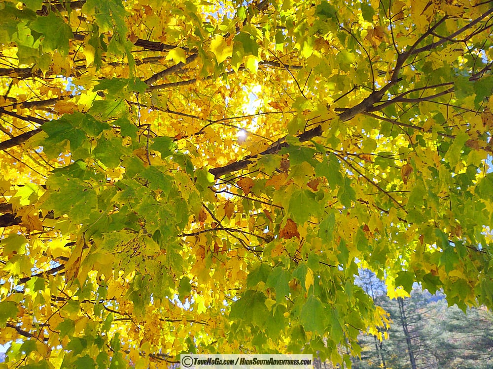
Fall in Cashiers NC

Peak Foliage Window by Elevation and Town, Key Area Breakdown and Recommended Drives


Elevation Tier Key Communities & Landmarks Peak Foliage Window Dominant Tree Species & Color Tones
High Peaks & Ridges 4,500 – 5,000+ ft Scaly Mountain (upper peaks), Whiteside Mountain, Yellow Mountain, Toxaway Mountain summit Late Sept – Early Oct Mountain ash, yellow birch, red maple, pin cherry (Deep crimsons, bright yellows)
Upper Plateau 3,800 – 4,400 ft Highlands, Scaly Mountain (town/base), Highlands Biological Station, Cullasaja Gorge rim Mid-October (Oct 10 – Oct 20) Red maple, dogwood, sourwood, black gum, sassafras (Vibrant scarlet, glowing orange, plum)
Mid-Plateau & Valleys 3,200 – 3,700 ft Cashiers, Sapphire, Lake Glenville, Burlingame, Silver Run Valley Mid-to-Late October (Oct 18 – Oct 28) Sugar maple, tulip poplar, hickory, sourwood (Golden yellow, bright amber, blazing orange)
Escarpment & Lower Foothills 1,500 – 3,000 ft Lake Toxaway (valley), Gorges State Park, Horsepasture River Gorge, Whitewater Falls Late Oct – Early Nov (Oct 26 – Nov 5) Red oak, chestnut oak, hickory, beech (Rich russet, copper, golden brown, deep scarlet)

Key Area Breakdown

1. Highlands (Elevation: ~4,118 ft)

* Town Character: Sits on the crest of the plateau, consistently turning 5–7 days earlier than the valley floors.
* Scenic Routes: US-64 through the Cullasaja River Gorge, Horse Cove Road, and Highway 106 toward Dillard.
* Top Lookouts: Sunset Rock, [Whiteside Mountain Trail], Rhodes Big View Overlook (famous for the autumn Shadow of the Bear), and [Dry Falls]

 2. Cashiers (Elevation: ~3,484 ft)

* Town Character: The central hub of the plateau with expansive open valleys framed by dramatic granite domes.
* Scenic Routes: NC-107 North toward [Lake Glenville and NC-107 South toward [Silver Run Falls]
* Top Lookouts: Cashiers Sliding Rock, High Hampton trails, [Silver Run Falls] and [Whiteside Mountain]

3. Sapphire Valley & Lake Toxaway (Elevation: ~3,100 – 3,300 ft)

* Town Character: Nestled beneath [Toxaway Mountain] along the steep Blue Ridge Escarpment, offering long-range views where visitors can see multiple elevation bands changing simultaneously.
* Scenic Routes: US-64 East through [Sapphire], [Grassy Ridge Road] to [Gorges State Park]
* Top Lookouts: [Gorges State Park] overlooks, Toxaway Falls, [Lake Toxaway Dam], and [Fairfield Lake] trails.

------------------------------
 Recommended Scenic Fall Drives

* The Waterfall Byway (US-64 West): Links Sapphire, Cashiers, and Highlands across varying elevations, passing Toxaway Falls, [Bridal Veil Falls] and [Dry Falls].
* Lake Glenville Scenic Loop (NC-107 & Pine Creek Rd): Delivers mountain reflections across the water alongside foliage framing the lakeside ridges.
* Blue Valley & Osage Overlooks (NC-106): Offers views descending off the plateau into Georgia's foothills.


© Copyright 2008 - High South Ventures, LLC - All Rights Reserved
Real Estate and Rental Referral Service by: Rick Stargel, NC Broker

Other High South Media Network Internet Properties:
Sapphire Valley Resort | Ski Sapphire Valley | High South Adventures | High South Rentals